Transform your knowledge of your fields & crops using technology
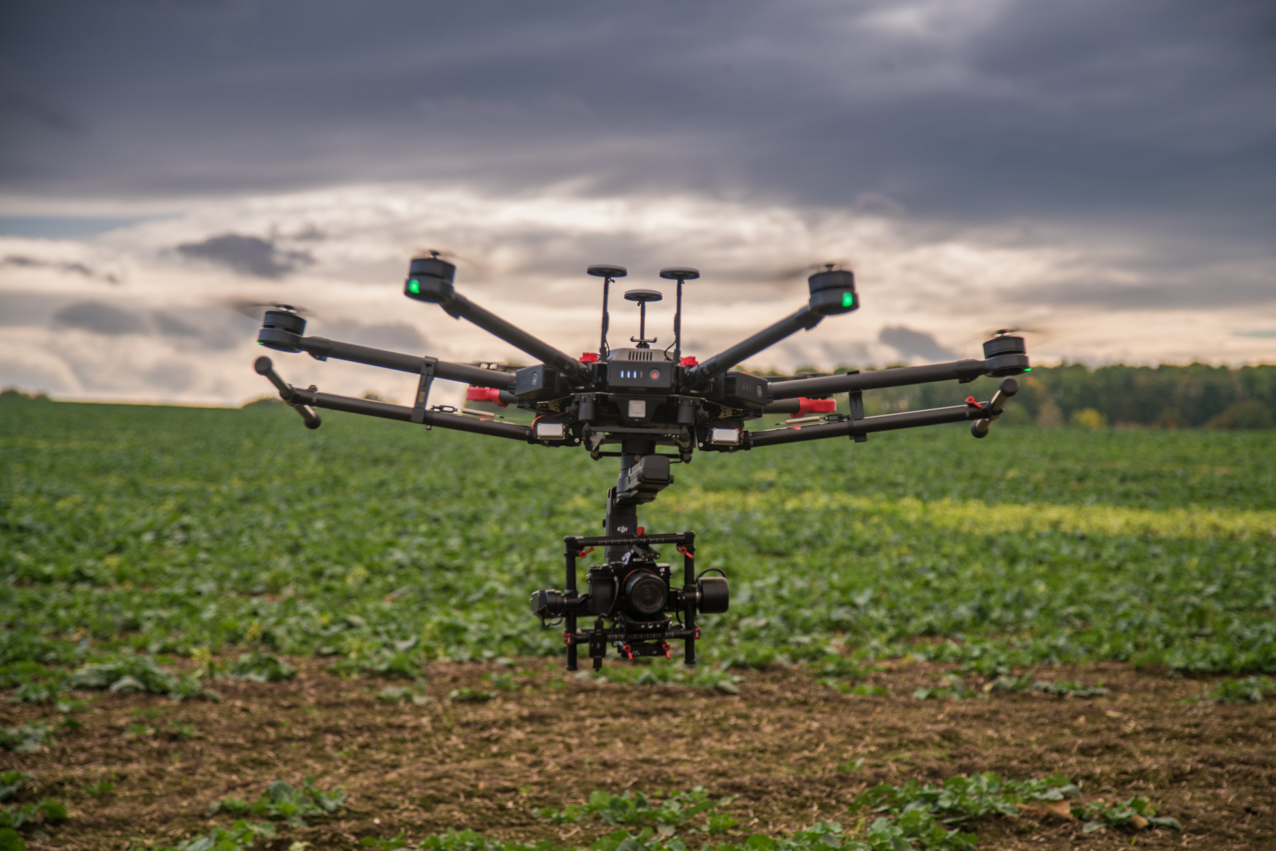
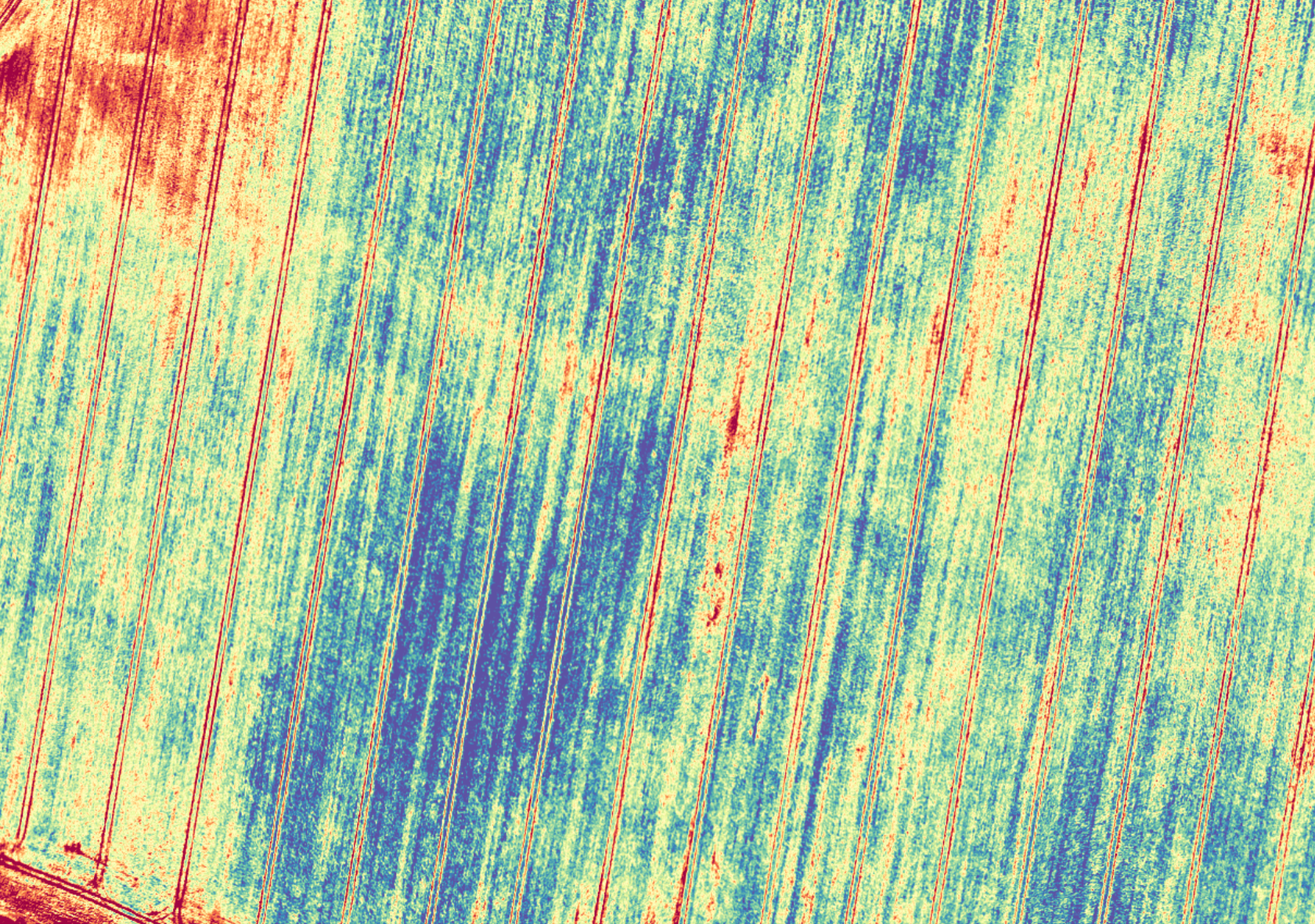
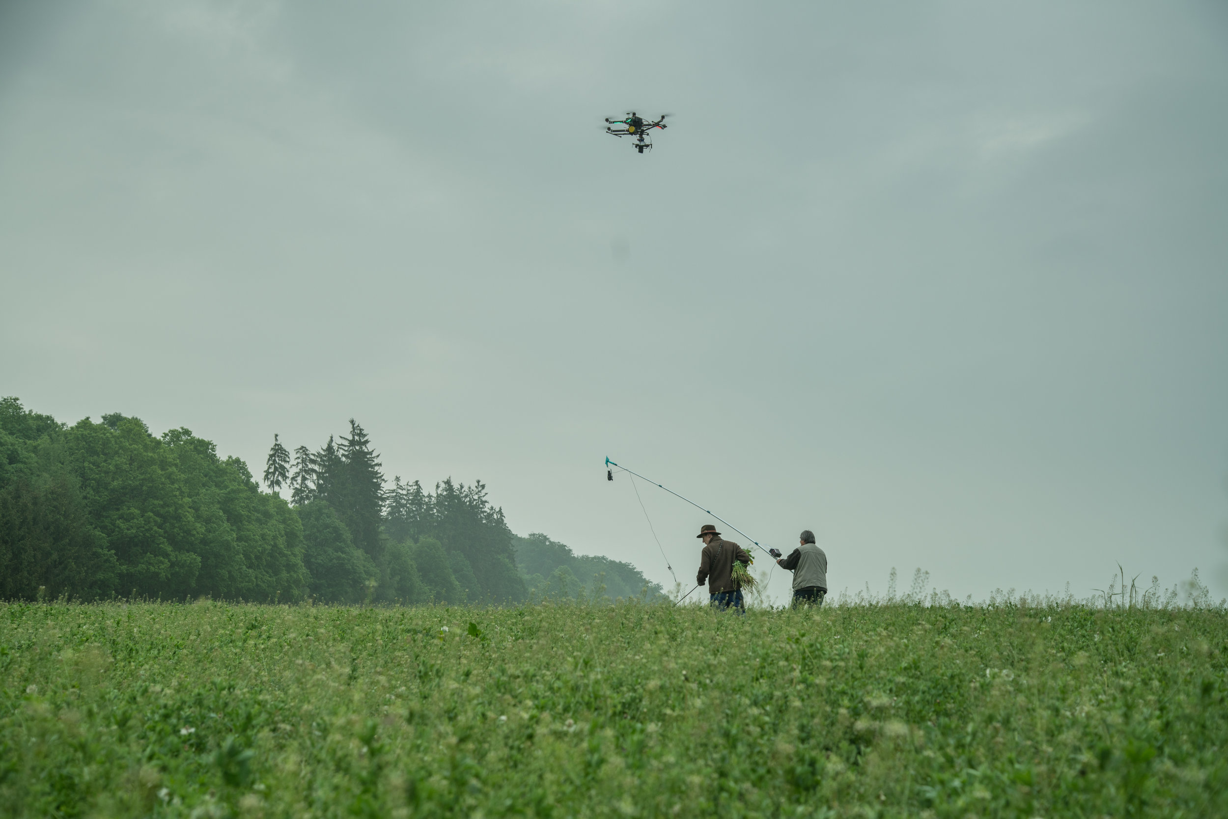
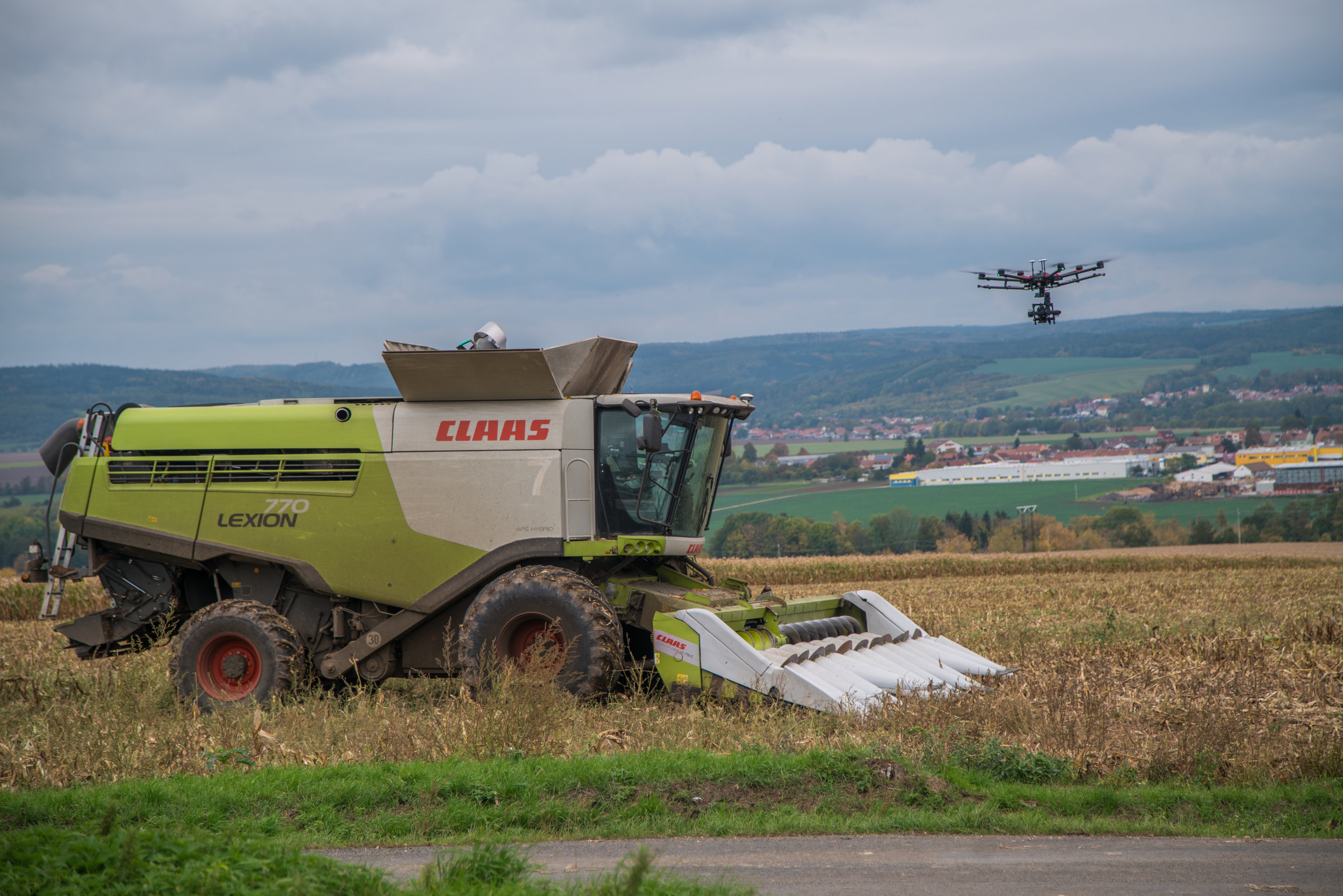
Drones and agricultural technologies
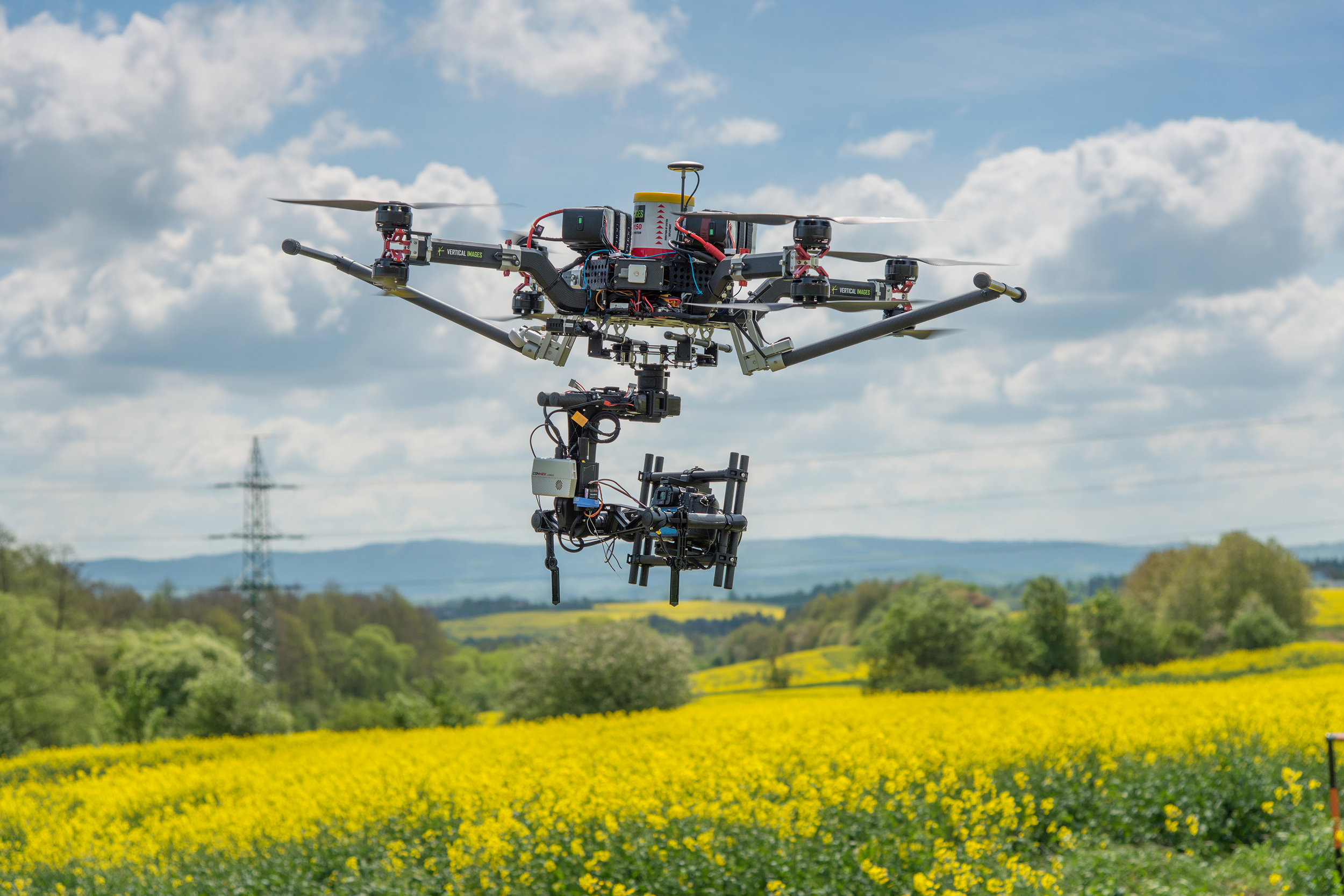
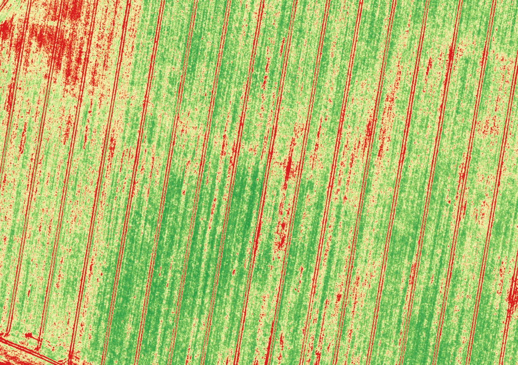
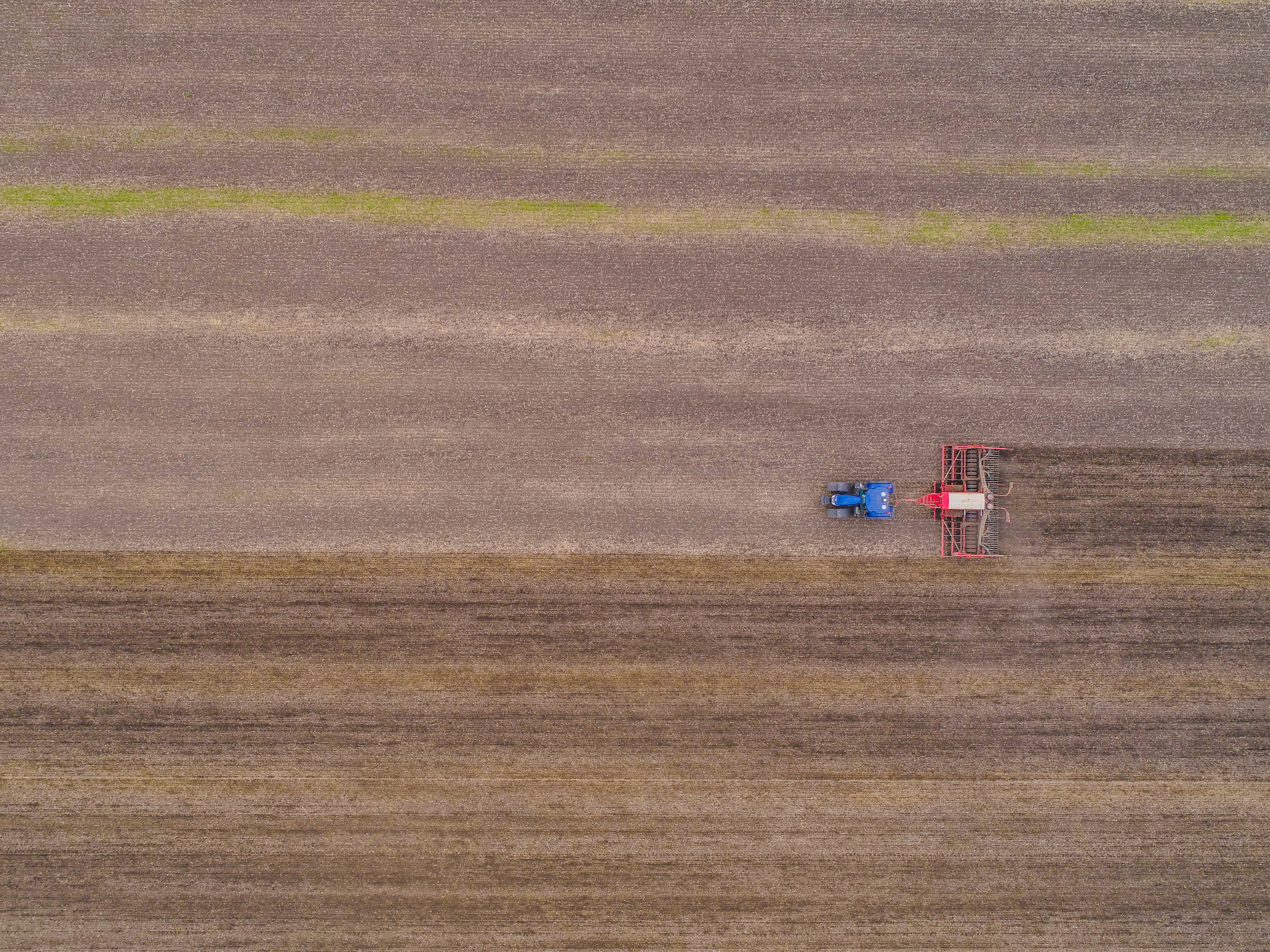
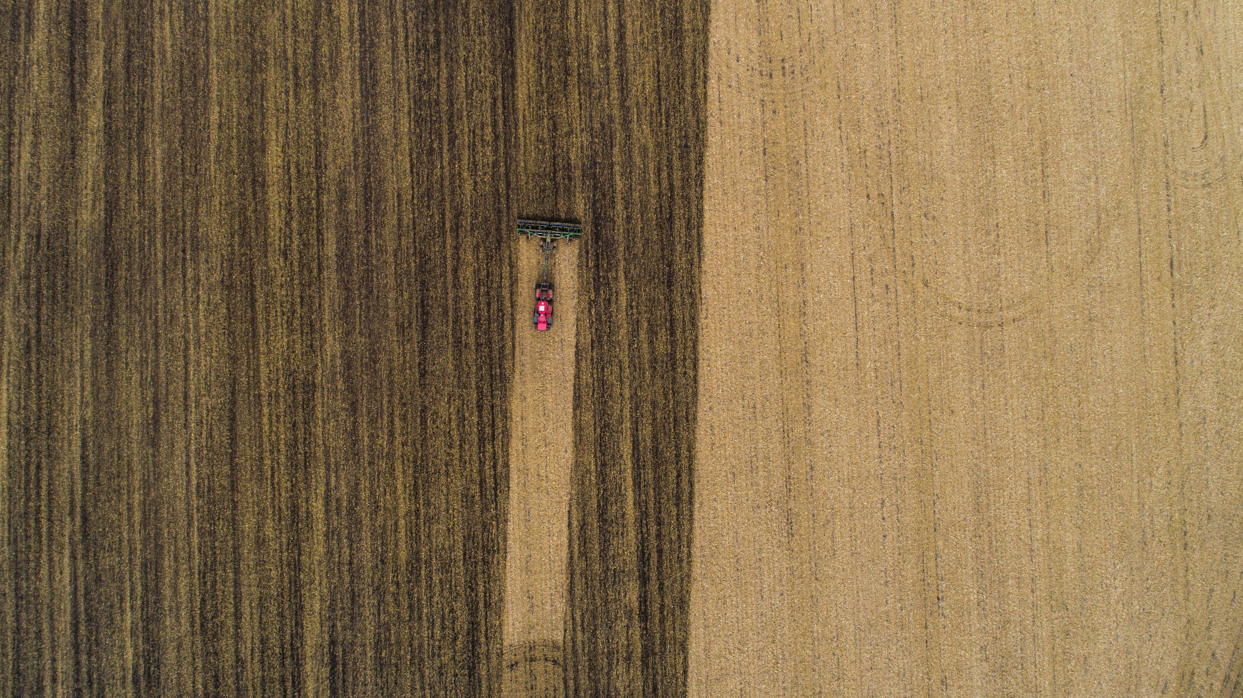
- Drone is nothing more than a means of getting a specialized high resolution multi-spectral camera and infra-red camera above your field
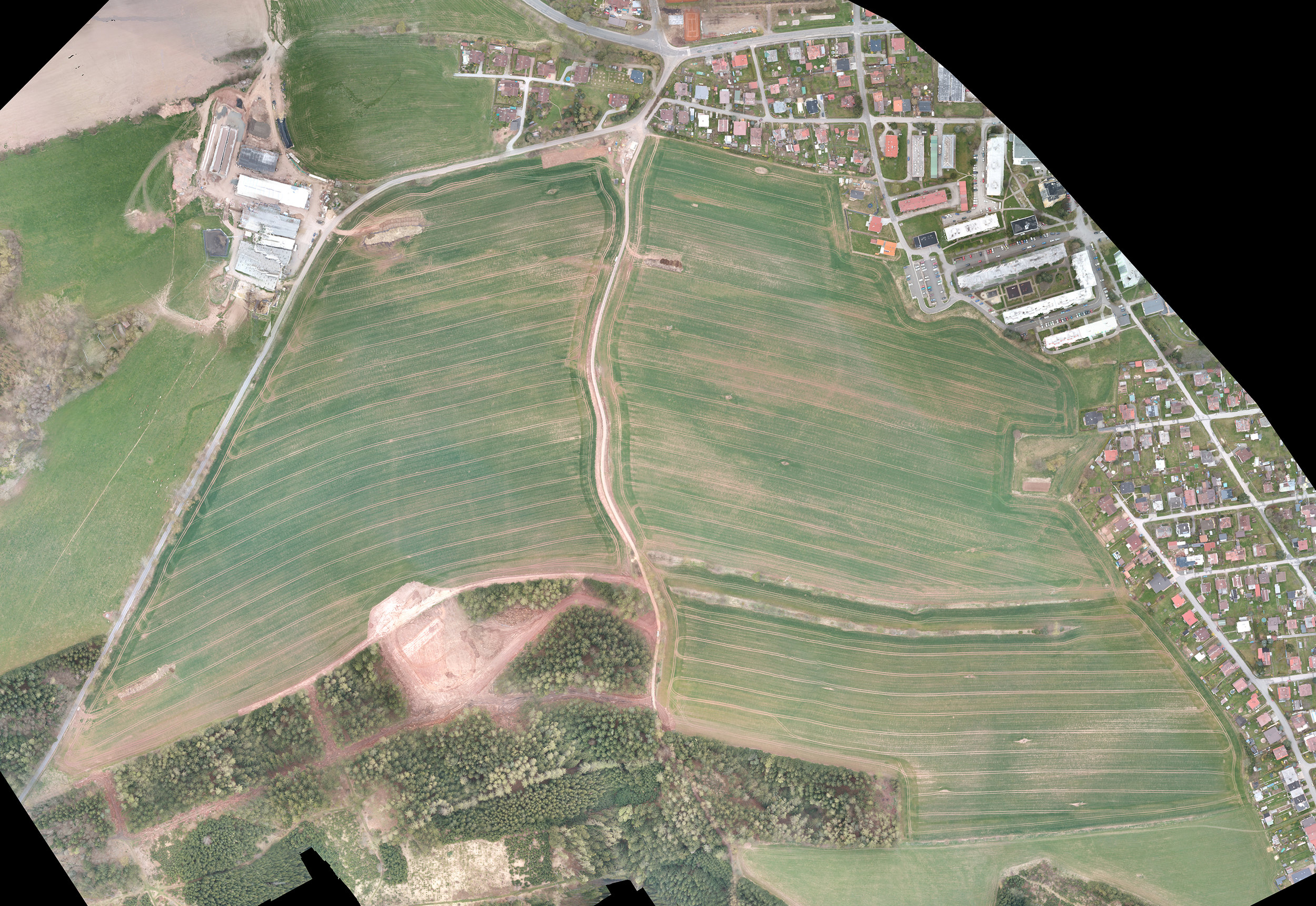
- High resolution image mapping of your land and crops is what adds value and makes possible a detailed analysis of your land
- Drone mapping of your field has the following advantages compared to satellite data:
- Higher resolution data
- Data when you need it and not affected by cloud cover
- Precision in mapping of your land and crops
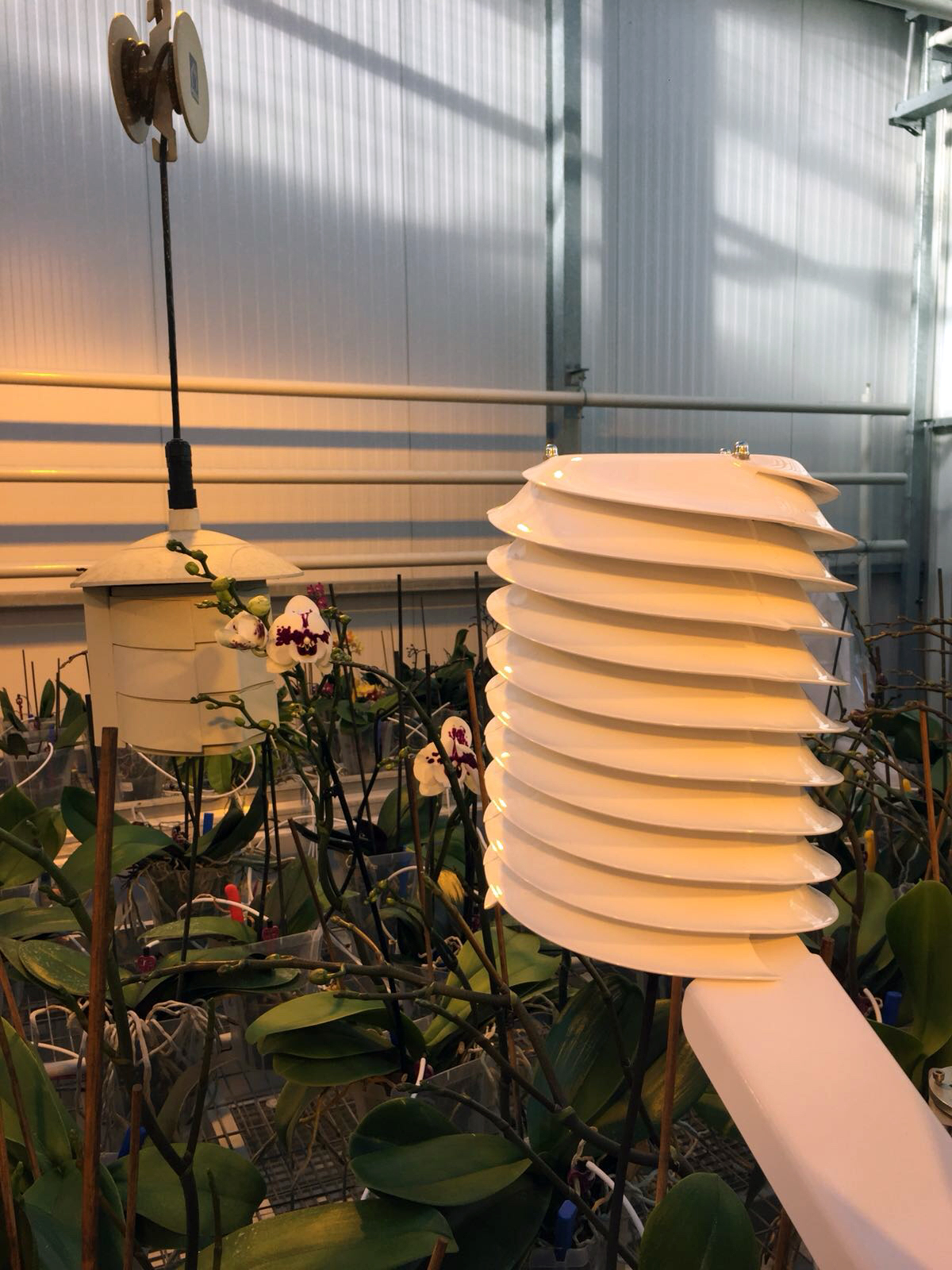
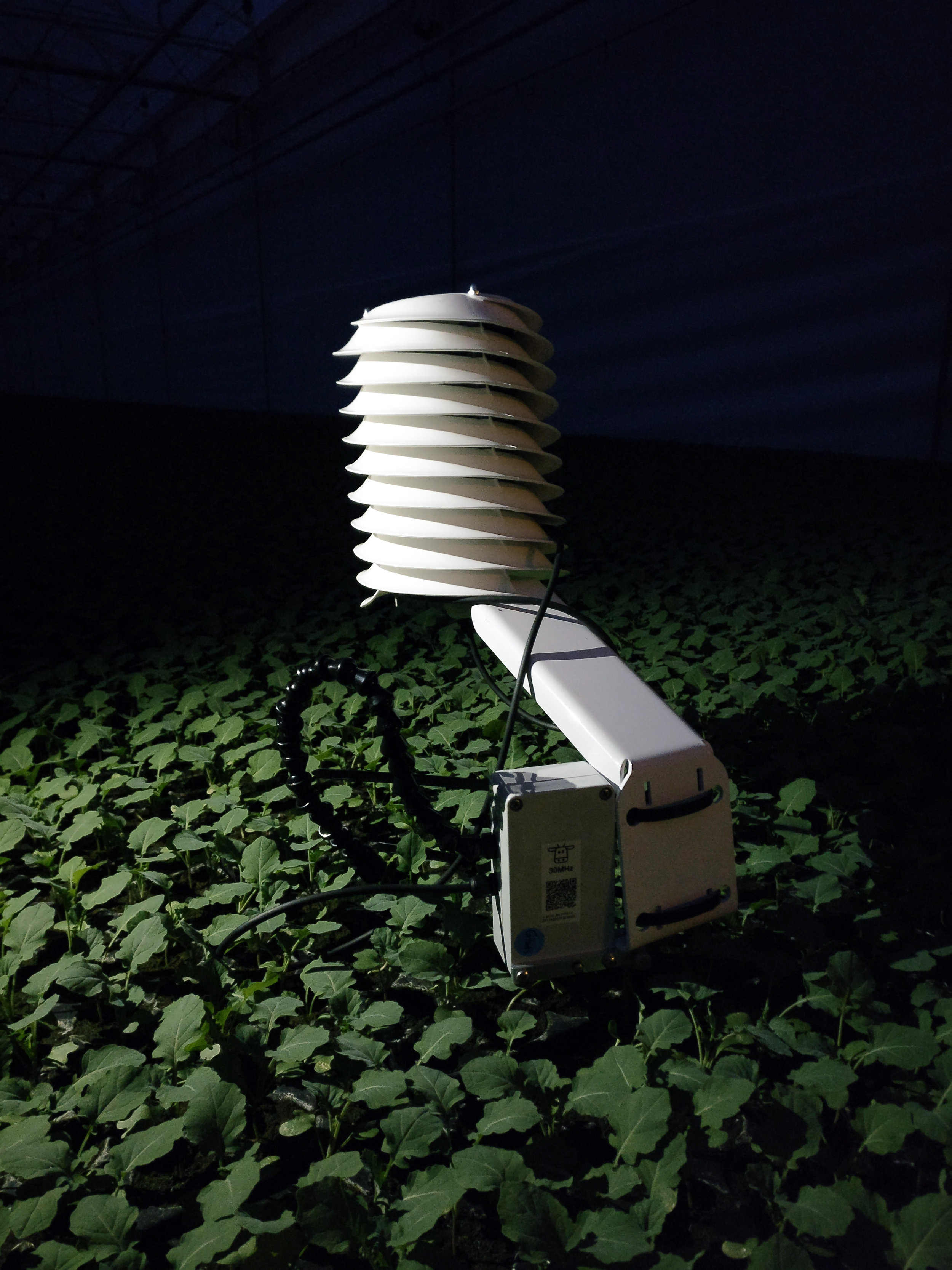
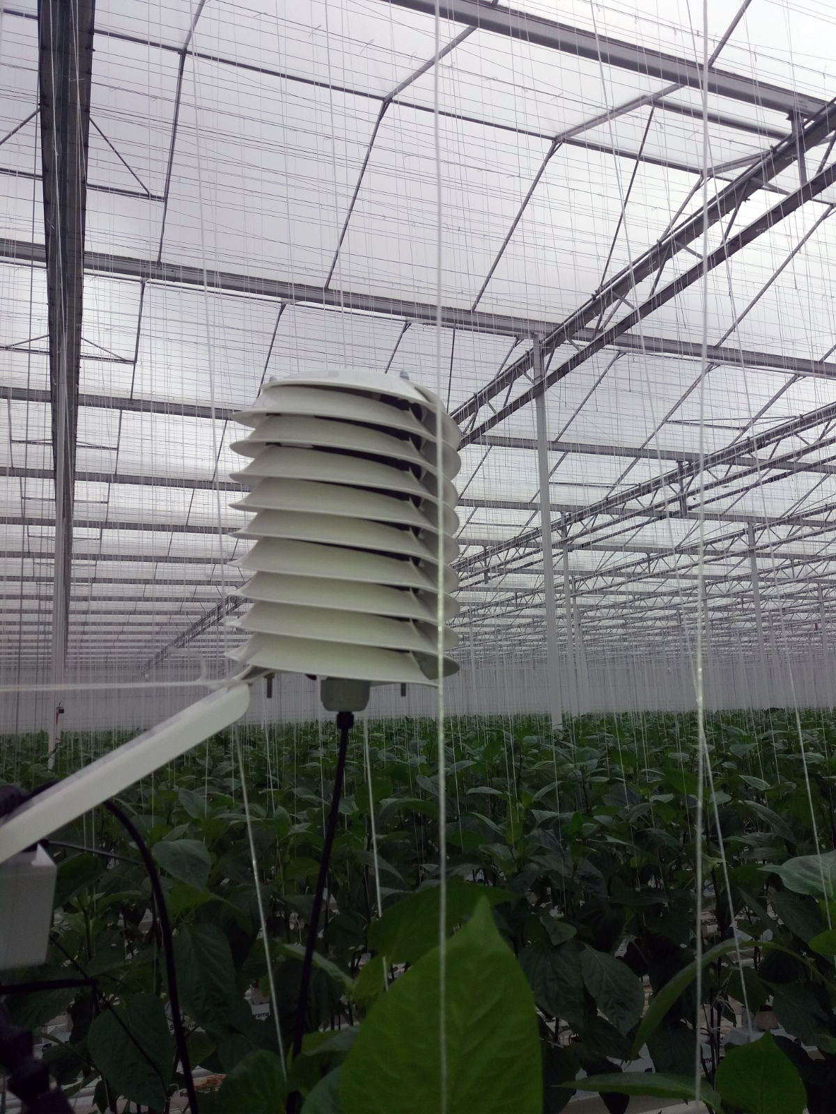
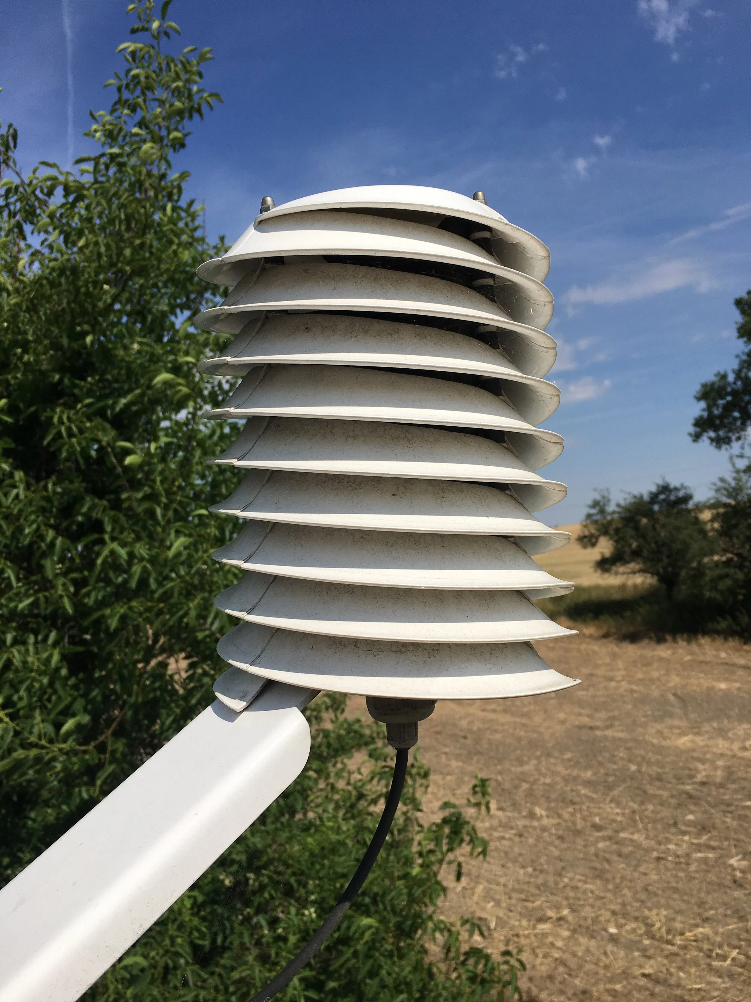
MeteoHelix IoT Pro micro-weather station for your field's micro-climate
Your micro-climate and weather stations
MeteoHelix IoT Pro micro-weather stations excel in dirty environments due to their dirt rejecting helical vortex flow.
Sensors inside the MeteoHelix are significantly less affected by dirt and dust, than in regular weather stations.
Your data stays accurate longer because its cleaner.
Measure:
- rain
- solar radiation
- air temperature, humidity and pressure
- frost and dew point
Add more sensors later:
- soil temperature
- soil moisture
- leaf wetness
- wind
- etc.
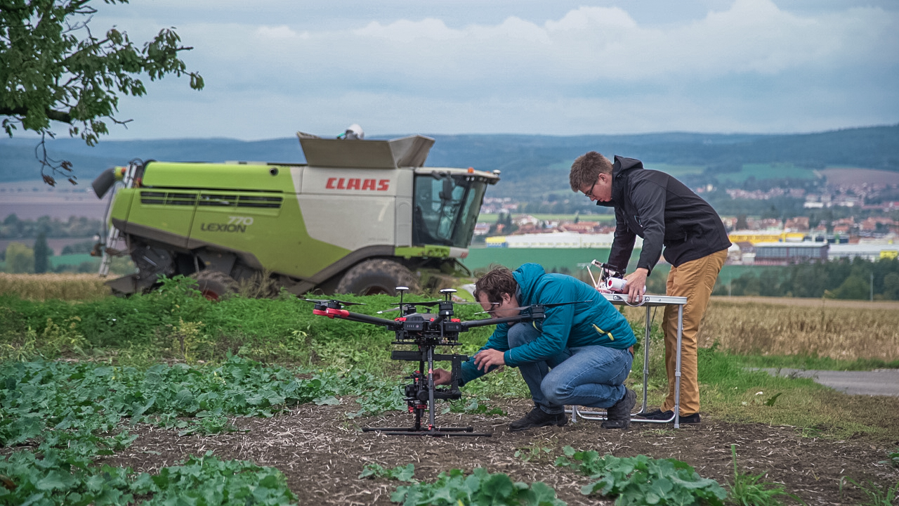
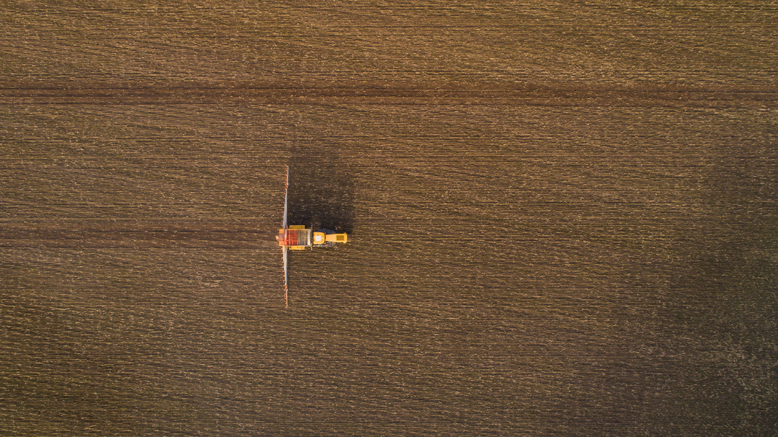
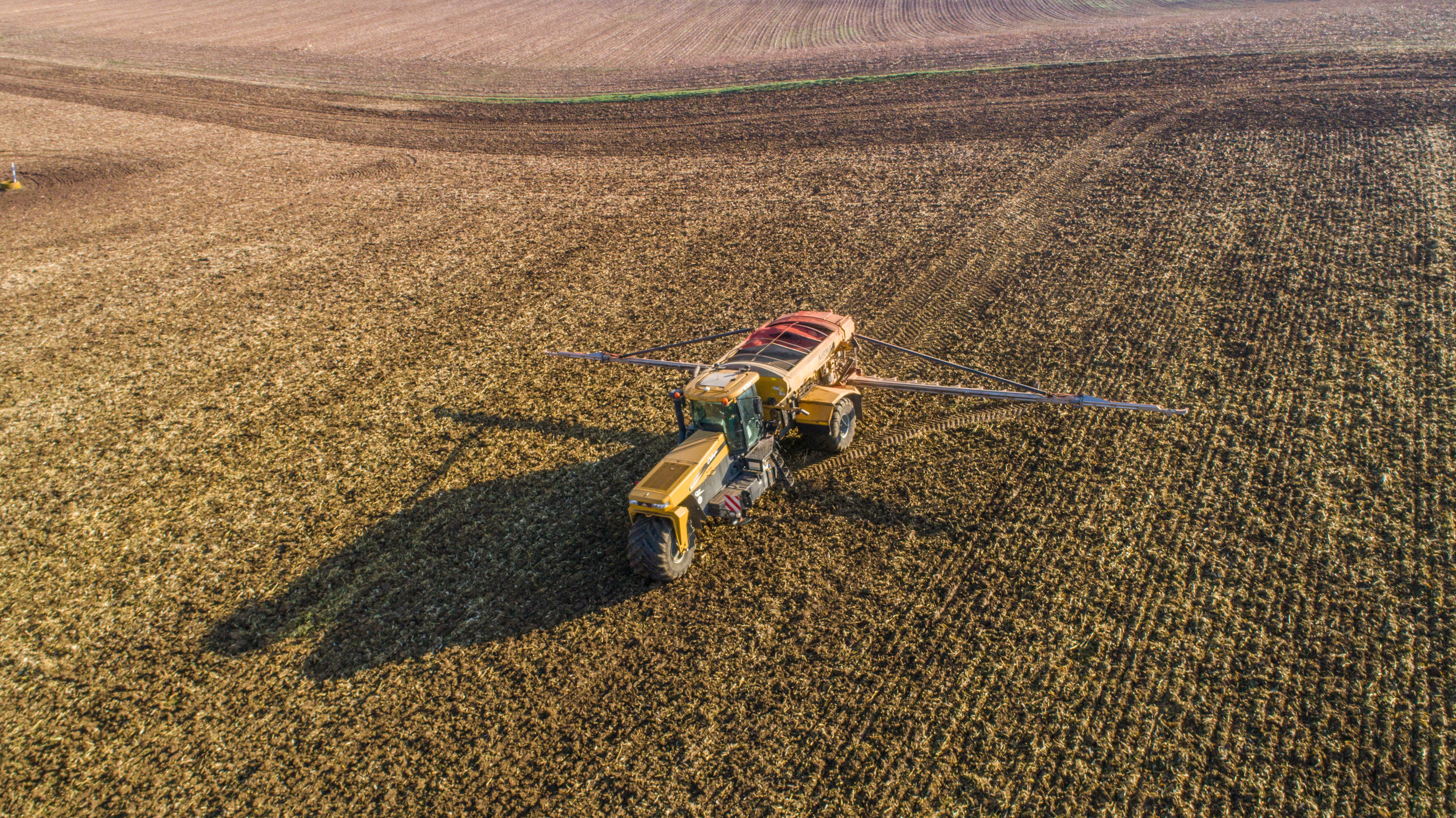
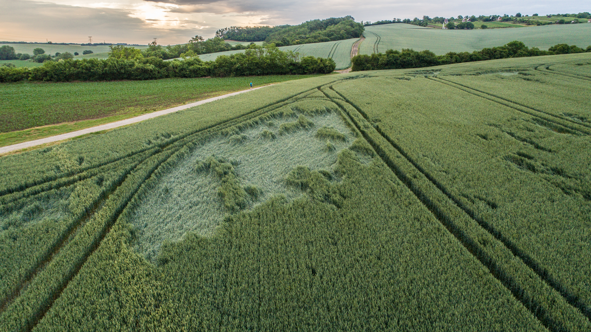
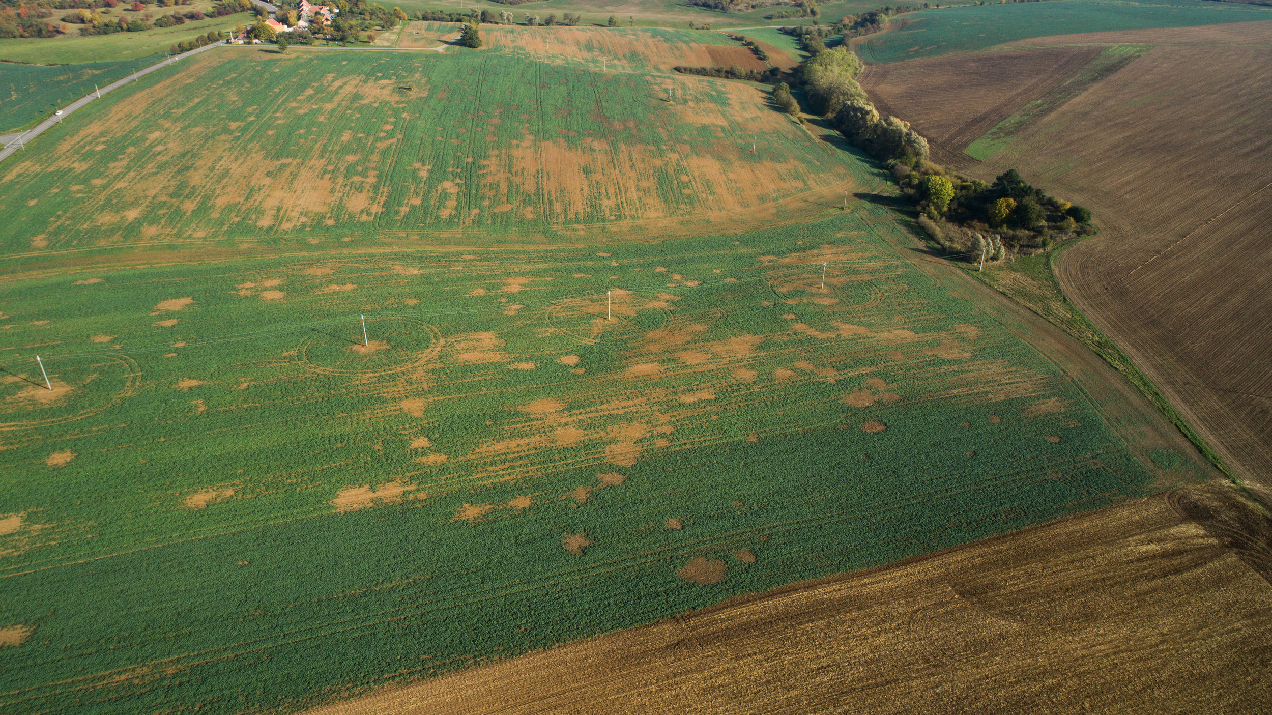
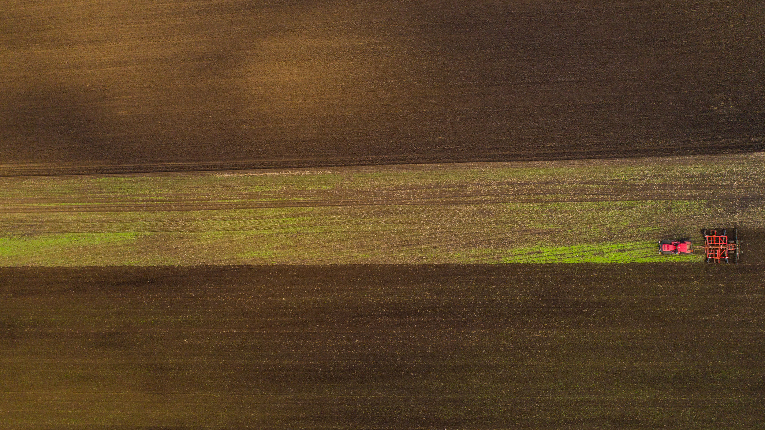
Aerial field and crop surveys
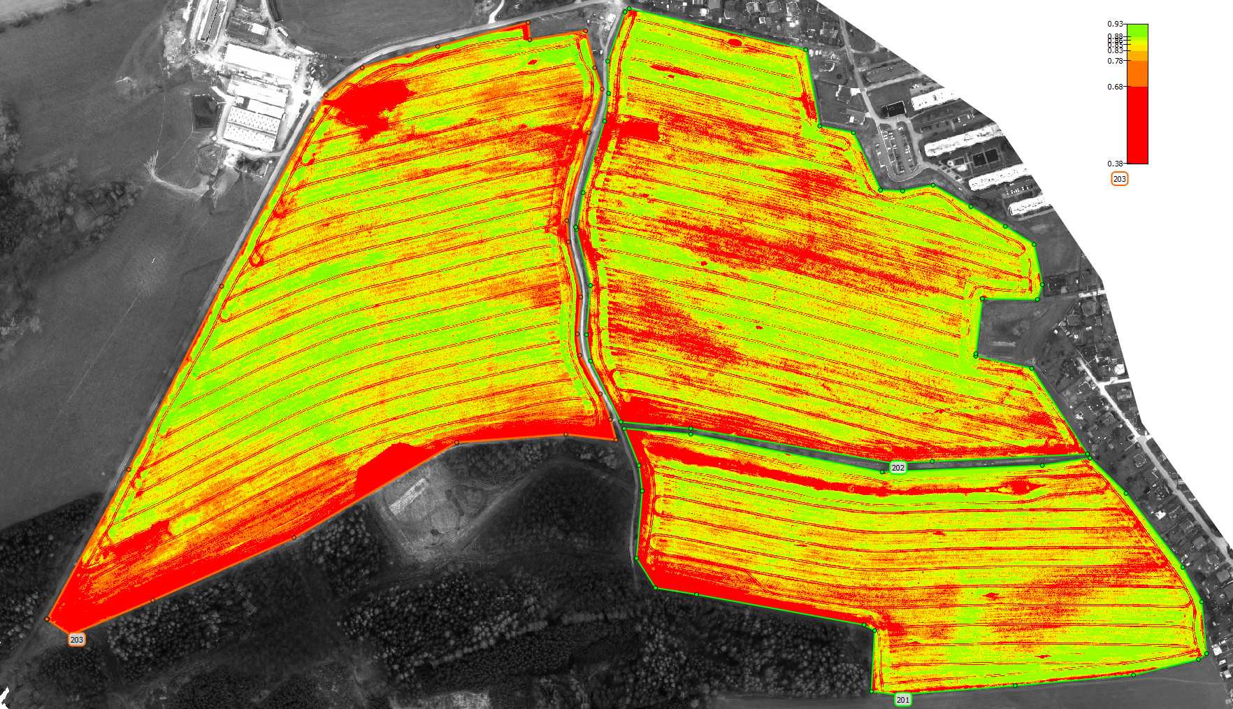
Drone mapping of your land and crops with multi-spectral and Infrared cameras with precision GPS measurement.
Benefits
- Accurate land survey of all your land to precise GPS coordinates
- Land drainage distribution profile
- Crop development monitoring
- Crop harvest analysis
- Variable application of pesticides programmed directly for your equipment
- Variable application of desiccant directly into your tractor
- Water irrigation plan based on land drainage properties to balance plant growth & crop yield
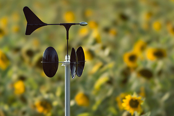
Micro-climate monitoring
Affordable distributed monitoring of rain, sun, temperature and soil parameters based on the patented MeteoHelix offers maintenance free long-term measurement stability.
Benefits
- Yield prediction based on micro-climate weather data recorded by a MeteoHelix directly where your clops are located
- Disease prediction from direct in-the-field micro-climate weather data
- Harvest planning based on crop development maps from drones together with micro-climate data
- Year-to-year comparison of growing-degree-days for each fields micro-climate
- Affordable rain accumulation, soil moisture and air humidity monitoring directly on each field
- Accurate frost prediction from direct in the field data
- Sun hours accumulation and sun strength monitoring to gauge and predict crop development and harvest
- Meteorological data to plan drone mapping schedules
What is a micro-weather station?
- A low-cost weather station planted in the field between the crops (MetroHelix is an example of a professional micro-weather station)
- It is a wireless monitor of each field's micro-climate, rain, sun and soil conditions
- A small, easy to install, solar powered and maintenance free weather monitor
What determines a field's micro-climate?
- Elevation
- Crop type and plant density
- Orientation to the sun
- Soil color and crop color
- Soil composition
- Soil water content and drainage